A new system tracking river qualities advance the analysis of the Delaware River
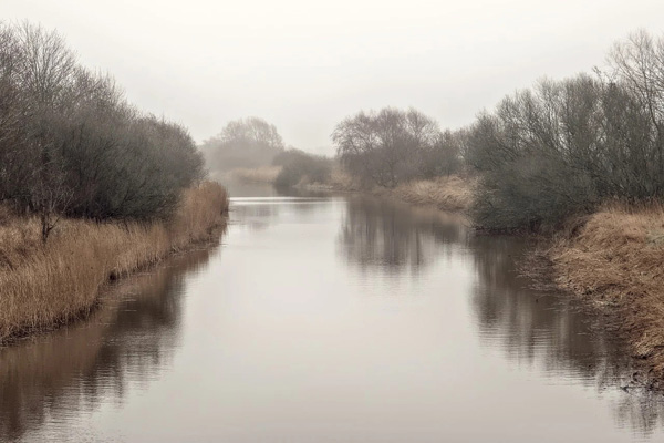
[Riverbank. Photo Credit to Pixabay]
The innovative engineers of NASA and USGS officially created a drone system called the River Observing System to capture precise rates of river flow in 2014.
The monitoring of river flow rates is vital to environmental monitoring, safety, and predictions.
The system includes thermal lenses, lasers, navigation sensors, and communication devices to measure river surface activity and create water velocity maps and flow fields, according to USGS StreamFlow Project investigator Carl Legleiter.
The USGS and other agencies measure streamflow, defined as the volume of water flowing over a certain spot for a fixed time.
Rivers are important to human life in many aspects such as fresh water, electricity, and transportation, but can pose harmful threats as well.
These waterways’ currents may carry pollutants that cause danger to wildlife, their habitats, people, and their property.
Following extensive research and development, NASA and USGS scientists launched the River Observing System (RiOS).
The system’s innovation has led to advancements in many areas such as the Delaware River Basin, a diverse watershed that contributes to the regional economy.
Management teams have made numerous attempts to maintain and improve the sustainability of the water source, but the modern observing system has shown the most success.
During October through September of 2021, the system successfully mapped the salinity in the Delaware River Estuary.
The mapping of salt water movement in the estuary proved vital to understanding how it affects the basin ecosystem.
USGS researchers collected the data to gain knowledge about the water dynamics.
In addition, sensor measurements such as nitrate concentration and water temperature were measured along the upper Delaware River to retrieve information on patterns in the physical properties of the water.
The measurements of self-gradient potential portrayed the importance of how groundwater and surface water interaction affects the water body.
In summer 2022, temperature loggers recorded data throughout the upper Delaware River watershed.
This information provided essential analysis on how aquatic wildlife in the watershed is affected by reservoir releases into their habitat.
Teams from USGS deployed two Ecomapper autonomous underwater vehicles (AUVs) to retrieve general data on water quality, including pH levels, water temperature, and dissolved oxygen in the lower Delaware River.
In a forward-looking initiative, USGS employees convened in 2019 to discuss ways to advance this system further, particularly through utilizing cameras and sensors in their research that have the ability to track harm in the water.
These cameras were subsequently installed to inspect the Delaware River’s sediment concentration, erosion, and harmful algae blooms.
This modern system to track water qualities and flow rates of rivers has shown its immense potential through its accomplishments in providing further analysis in all parts of the Delaware River, establishing a new standard for watershed monitoring and management.

- Esther Pi / Grade 9 Session 8
- Round Rock High School